.REZFNybq_ZyT7El.webp)
Geotechnical
For geotechnical engineers and engineering geologists.
- AGS data
- Terrain and sections
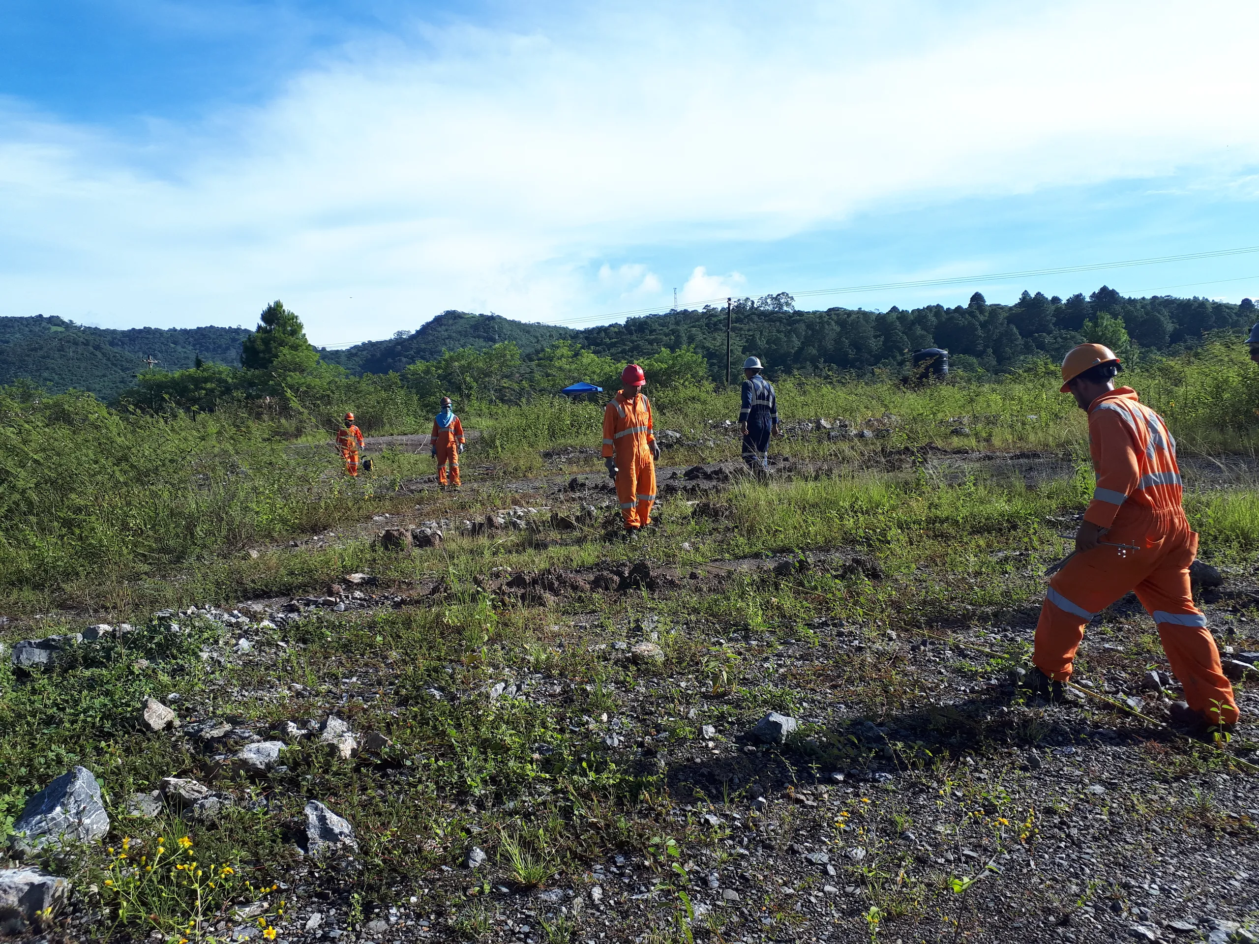
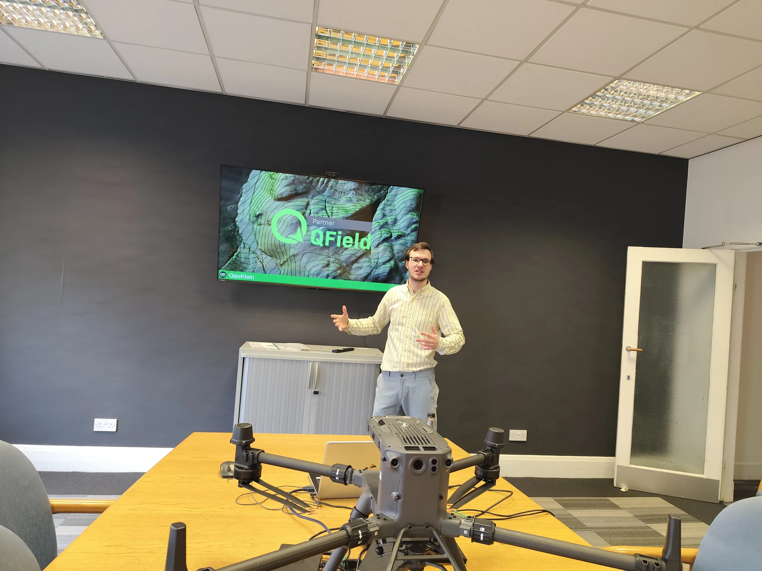
- Site logging in QField
- CAD and GIS
Your team leaves with: A site project, QField logging forms and report-ready figures.
- Level 1
Core skills and site data
- Getting started with QGIS
- Boreholes, trial pits, Envirocheck and BGS layers
- AGS data from HoleBASE, OpenGround or gINT
- Level 2
Terrain, analysis, CAD and reporting
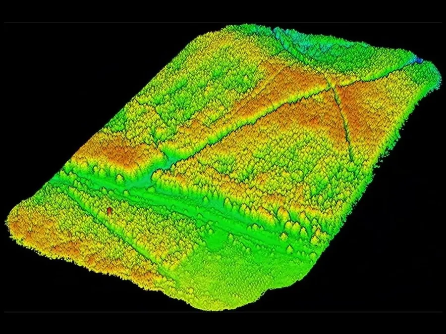
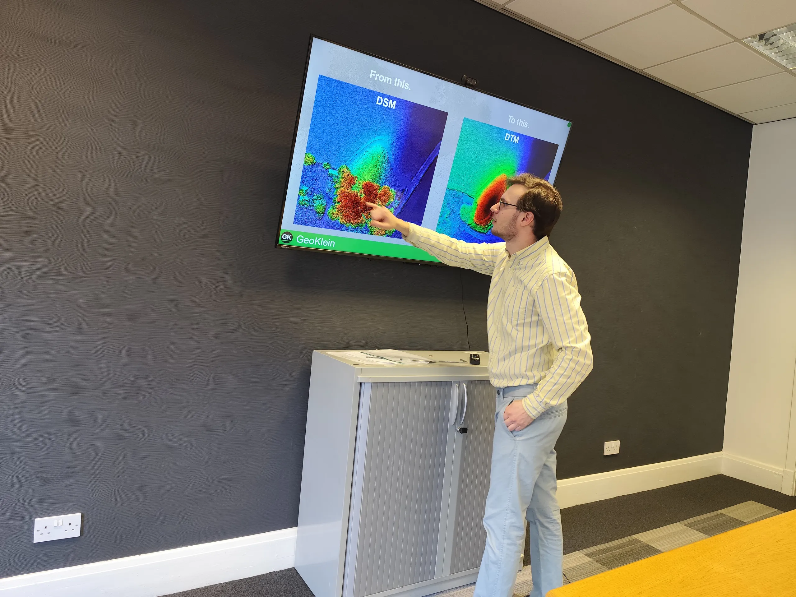
- Terrain models, slopes and contours
- Groundwater and strata surfaces, and cross-sections
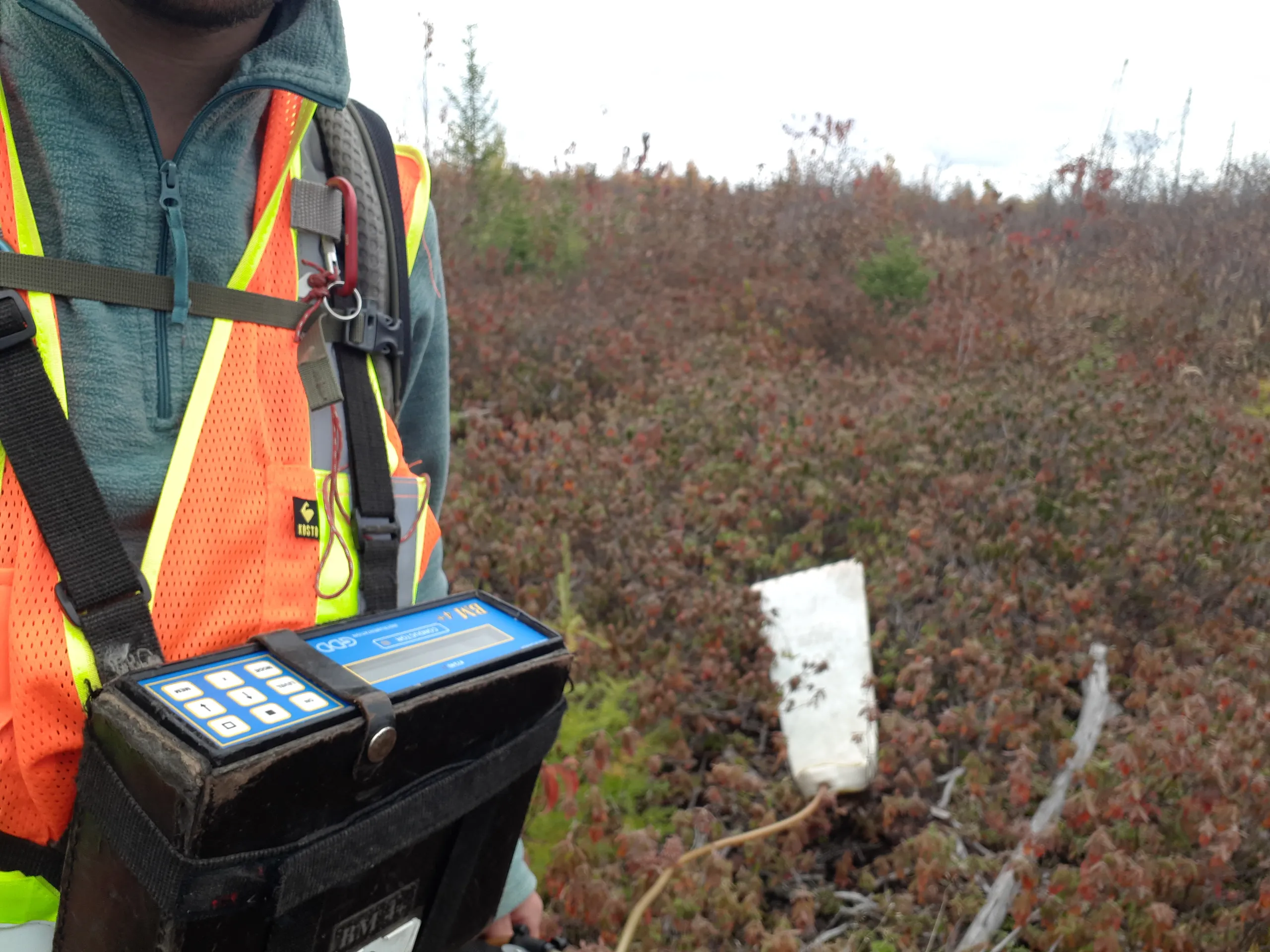
- QField for walkovers and site logging
- CAD drawings in and out of QGIS
- Report templates, shared projects and simple automation
- Publication-ready figures in Inkscape
Both levels: 2.5 to 3 days