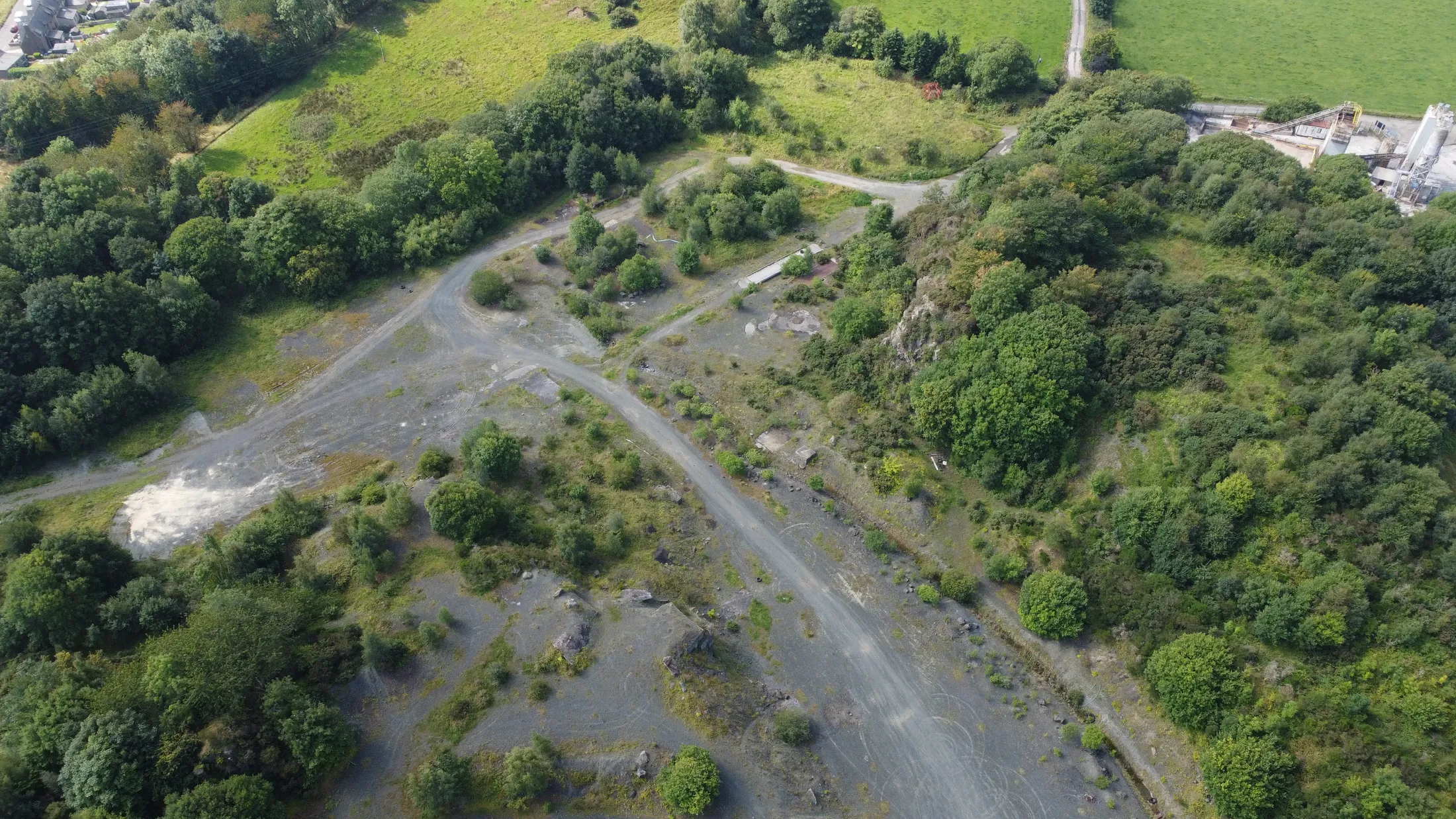
Every GeoKlein photogrammetry survey comes with access to the GeoKlein client portal. Your team can measure, compare and report on the site themselves, without waiting on us.
Survey reports answer yesterday's question
A traditional survey arrives as a static report. Every new question means another request, another turnaround and another invoice. With the client portal, the survey stays live and the answers are a few clicks away.
What your team can do
- Stockpiles to tonnes and valueDraw round a pile and get the volume, converted to tonnes and value using your own material densities and prices.
- Cut and fill against designCompare the site against your design surface to see what is left to move.
- Compare surveysSee what has moved since the last survey, shown as a heat map.
- Haul roadsGradients along the road, plus where the surface is rough or rutting.
- Sections anywhereCut a cross-section through any part of the site without anyone going back out.
- Instant reportsSave any measurement as a GeoKlein-branded report and send it straight on.
One site, one set of numbers
- Up to five members of your team can work with the data
- Unlimited view-only links for head office, consultants or planners
- Every figure is dated and logged against the survey it came from
- Corrections are added, never written over the original
- Runs in any modern browser, with nothing to install
- Your data stays yours, with exports including DTM, DSM, orthomosaic and point cloud
How it works
- We fly and control the surveyGround control and independent checkpoints, tied to the British National Grid.
- We process and check itAccuracy is checked against the checkpoints before anything is released.
- Your team logs inAccess for up to five people, plus view-only links for anyone else.
Which surveys include it
Portal access is included with our photogrammetry surveys, including stockpile and quarry volumetrics and earthworks monitoring. Each survey includes 12 months of portal access, and longer hosting is available. LiDAR surveys are delivered as standard data packages.
See it on your own site
We can run a pilot survey of a small area so you can try the portal with your own data before committing to regular surveys.
Talk to us about a pilot survey